Geophysics

162 readers
1 users here now

Geophysics community, not restricted to Canada.

General rules: must be geophysics related or adjacent (this is a very wide scope, and includes things like stellar earthquakes); must adhere to lemmy.ca moderation rules; no pseudoscience.

See also !geology@lemmy.ca

And: !earthscience@mander.xyz

founded 1 year ago
MODERATORS
26
 
 
27


One of my ABEM rental customers said they were using this and quite liked it! Anyone used it before?

28


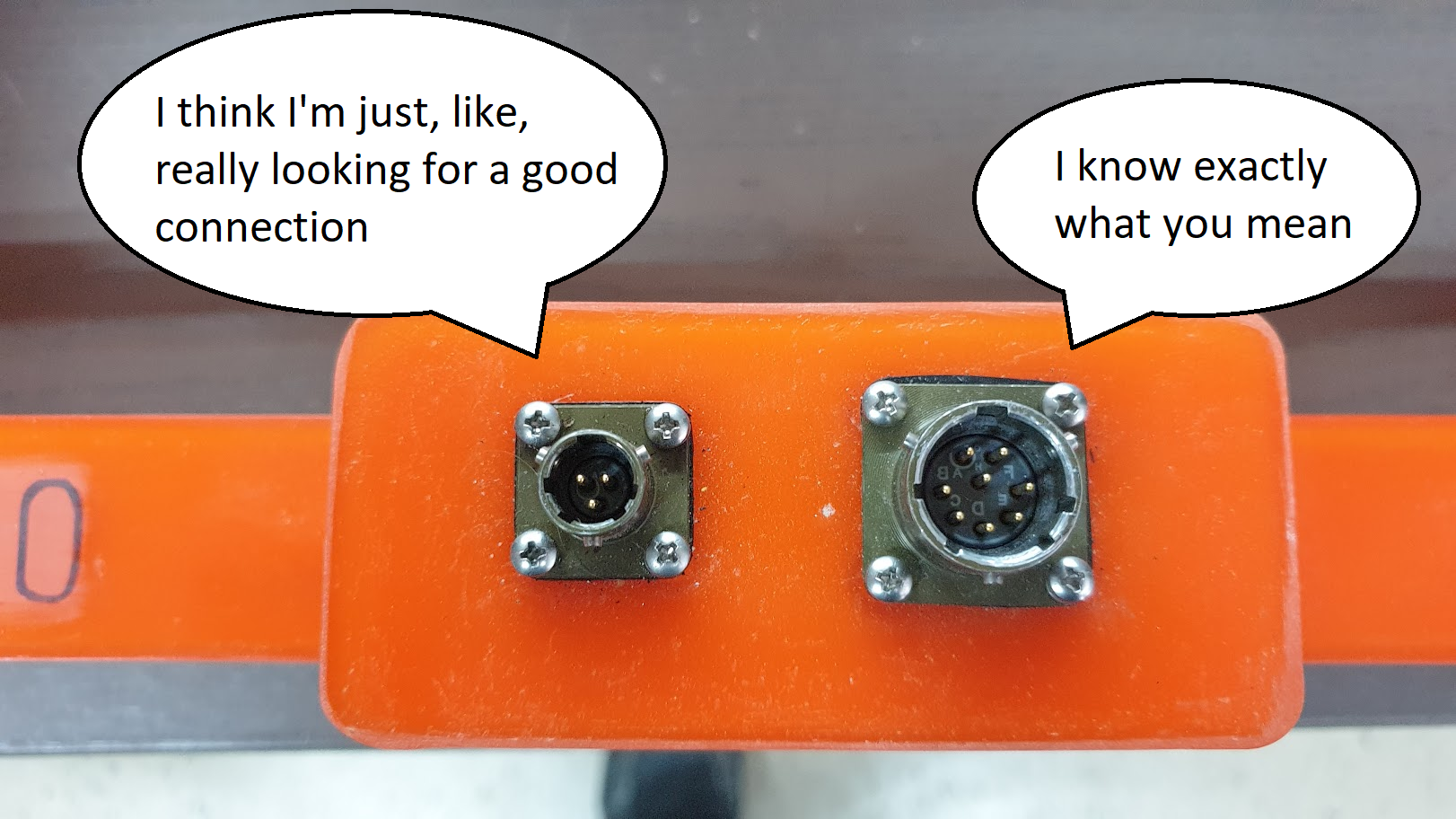
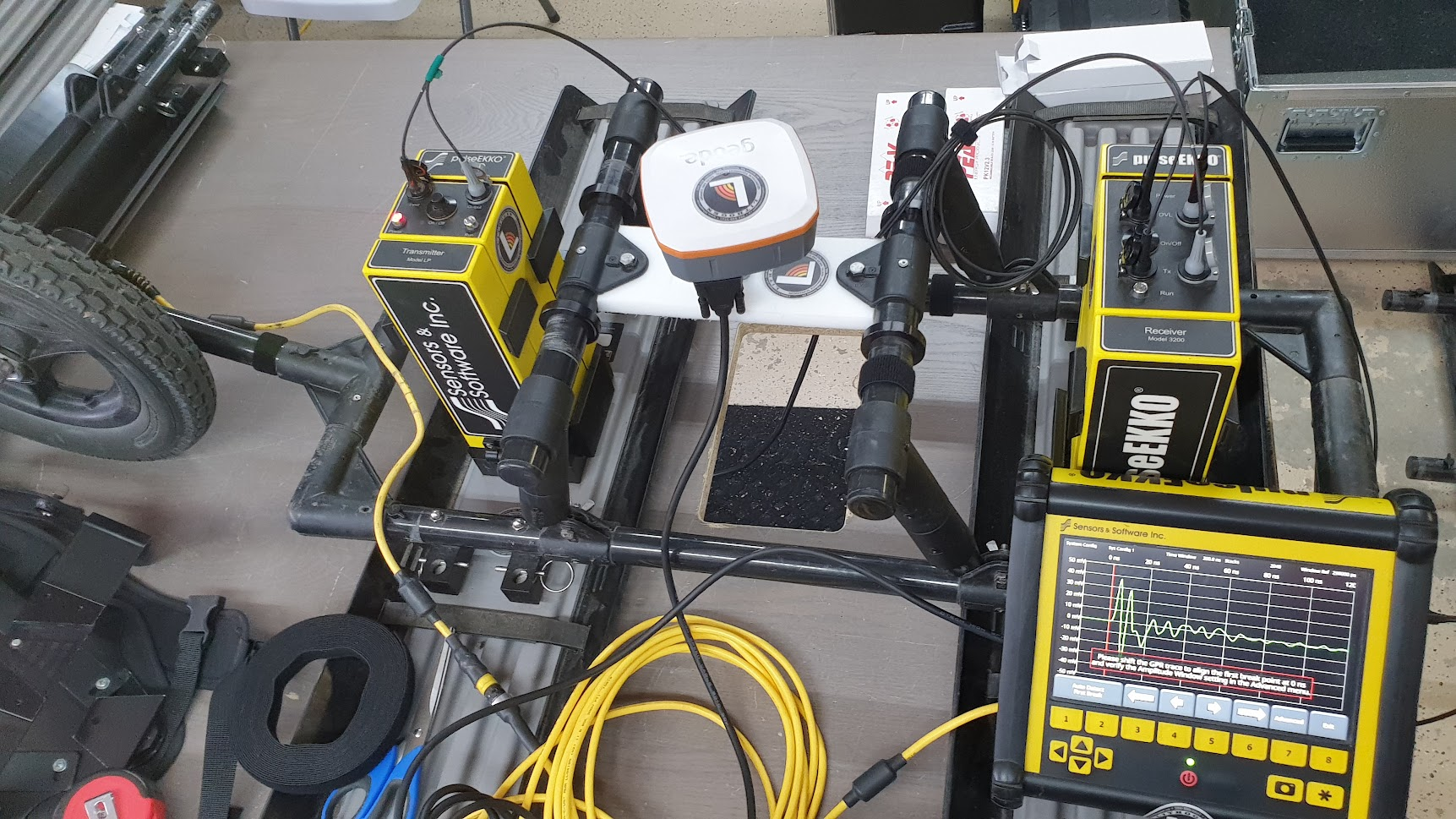
It's not geophysics unless it runs on batteries and has wires sticking out...

29
30


The geophysicist replied without lifting their head up: “Noises? No problem. I got tons of filters here. What’s the frequency?”

31


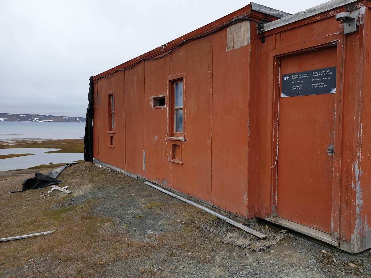
Site was being scrubbed from the planet when I was last there -- might not exist at all now.

32
33
34
35


"The USGS operates a really neat email/SMS earthquake notification service (earthquake.usgs.gov/ens/) that allows fine-grained control of notifications."

36


oh gerd

37


Not alarmist, just cool. When I was in grad school we studied we used dInSAR to study groundwater pumping related subsidence. It makes perfect sense that there would be mass redistribution.

38
 
 
39


This thesis just won a major prize from the Royal Astronomical Society. https://ras.ac.uk/news-and-press/news/2022-thesis-prize-winners-announced

40
 
 
41


Abstract

In the absence of surface indications of burial sites, law enforcement or humanitarian organizations are faced with the difficult task of focusing large-scale ground searches to a manageable excavation area. A geoforensic-based survey may exclude parts of the landscape for reasons such as diggability or viewshed analysis but leave areas still too large for invasive exploration. This work examines how drone-based remote sensing, geophysics, and search dogs may be combined to narrow such searches. Here, we ask the reader to consider two examples where forensic geomorphology and land use provided a range of possible burial locations. Following this is a multi-proxy approach to similar dilemma, with a search-to-scene case study using remote sensing (drone photography), geophysics, ground probes, and search dogs. This approach is not presented as a definitive guide, but serves as an example of the conjunctive use of well-studied methods to approach a common problem in geoforensics.

42


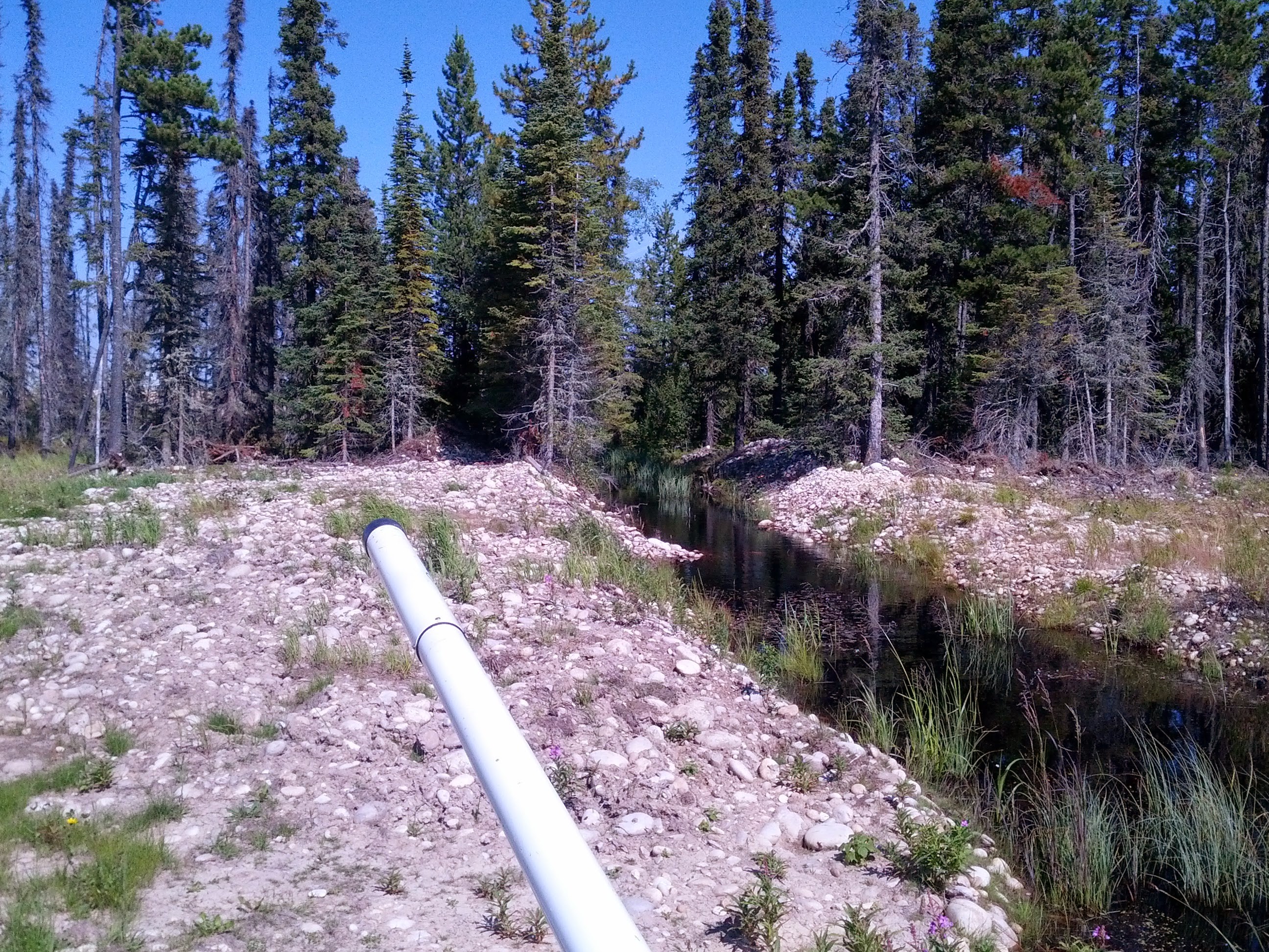
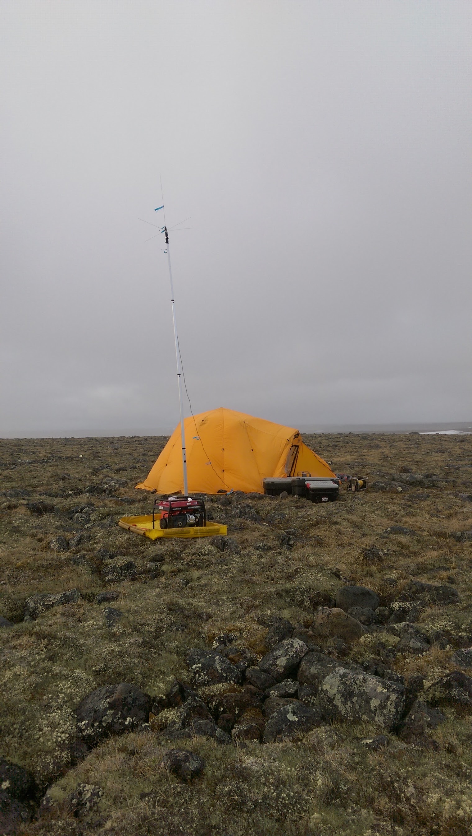
From my time with Aurora Geosciences. Pole-dipole, GDD tx and Iris rx. It was a good day when you were on transmitter duty. Keep everything running, and read the Kindle. :)

43
44
 
 
45


Let this set the appropriate standard for conduct.